
A Jet Flew 4 Hours Without GPS by Reading Earth's Magnetic Fingerprint
A Pacific test used quantum sensing and magnetic maps to improve positioning against traditional backup navigation. The headline number needs one crucial qualifier.
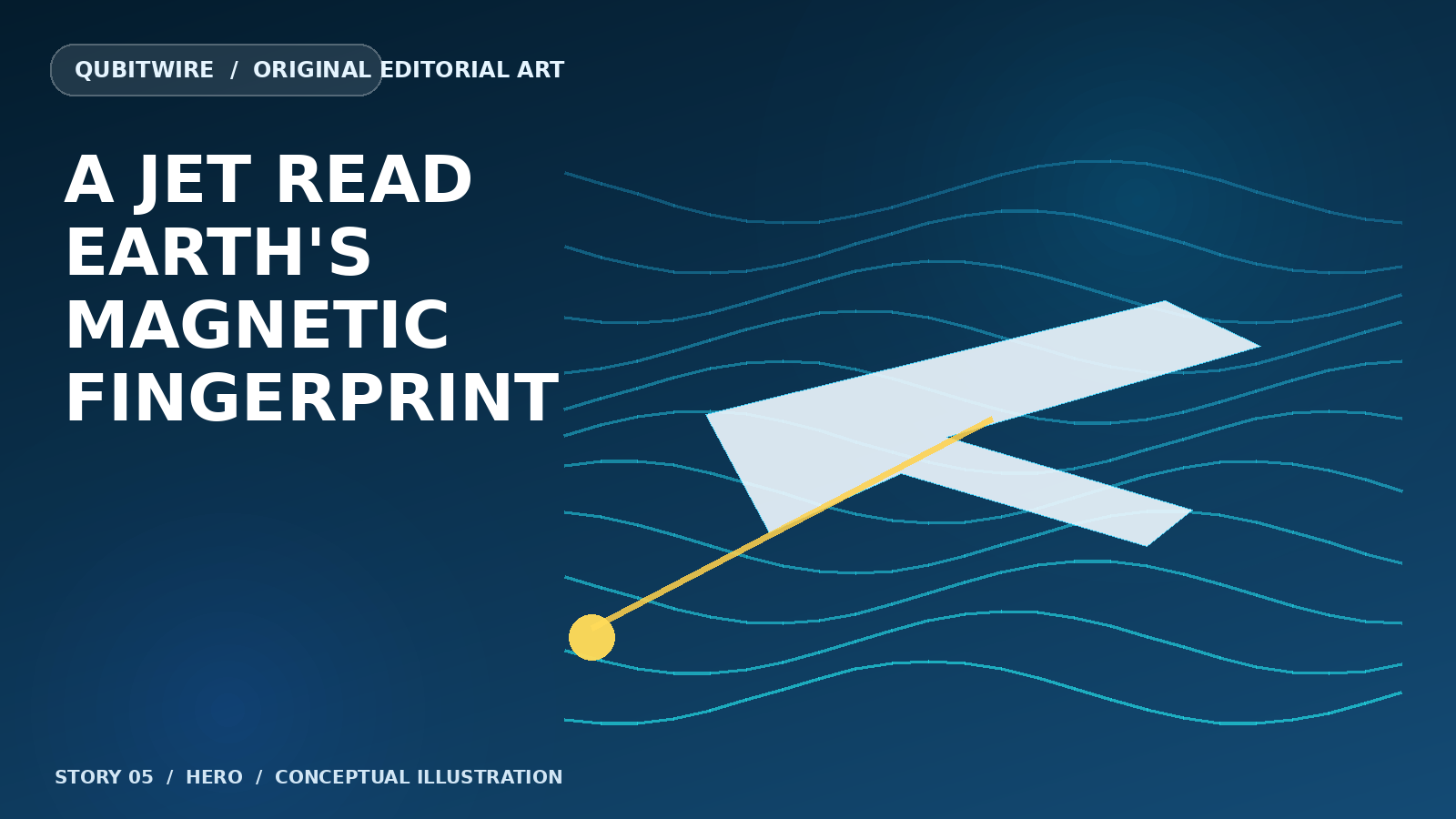

For four hours and 23 minutes over the Pacific, an Embraer 170 flew without GPS navigation input and read the planet instead. Honeywell's MagNav prototype used quantum sensors to measure tiny variations in Earth's magnetic field, matching them to a magnetic map as the aircraft traveled from Puget Sound toward southern Alaska and back.[1]
The idea turns geology into a fingerprint. Rocks in Earth's crust leave uneven magnetic signatures. Unlike a radio signal from a satellite, that pattern cannot be switched off by a jammer. A sufficiently sensitive instrument can compare the field beneath an aircraft with a stored map and use the match to correct the drift that builds up in inertial navigation.[1][2]


The Defense Innovation Unit reported an 89 percent improvement in position accuracy compared with traditional backup navigation methods. That comparison is essential. It was not an 89 percent improvement over GPS, and the public account did not provide an absolute meter-level error figure. The result shows a stronger backup in the reported test, not a universal replacement for satellite navigation.[1]
The cockpit integration was intentionally ordinary: navigation data streamed to pilots through standard tablets. That matters because an alternative system is more useful if it can be added without rebuilding every instrument panel. Honeywell's broader navigation architecture also layers magnetic, inertial, vision and satellite-derived sources rather than treating one sensor as the answer to every environment.[1][2]


A C-17 demonstration was planned for later in 2026, and performance still has to be tested across routes, altitudes, weather and magnetic maps. Even so, the flight makes quantum sensing feel unusually tangible. The machine did not solve an abstract equation. It listened to a faint physical pattern that had been under the aircraft all along.[1][2]