
How a quantum sensor helped a ship navigate without GPS
Q-CTRL’s August trial used gravity measurements to check a ship’s position over an 83-kilometre route. Maps, conventional instruments and error bounds are part of the story.
Imagine a ship losing a useful satellite signal. Its instruments still measure motion, but small errors accumulate and the sea offers few visible landmarks. One possible backup is not another signal from the sky. It is a measurement of the physical landscape the ship is travelling through. That is the appeal of navigation using gravity or magnetic measurements. The idea is to compare observations with a map and use the match to help constrain position. Quantum sensors are being explored as one way to make relevant measurements under challenging conditions. They are not a replacement for every part of a navigation system, and the evidence does not imply that a phone can simply stop using GPS.
In August 2026, Q-CTRL reported a maritime demonstration of quantum gravimetric navigation. An accompanying preprint describes a shipboard system combining an atomic sensor with classical motion-sensing instruments. The work is a company-associated field result, not independent certification that the approach works in every sea state, route or vehicle. It is nevertheless a useful story because it asks a practical question: can a physical measurement provide another source of position information when familiar signals are unavailable or unreliable?[1][2]
The world contains more than visible landmarks
On land, a person can orient themselves using a road junction or a distinctive building. A navigation system can use less obvious patterns. Gravity and magnetic fields vary with physical surroundings, and measurements of those variations can sometimes be compared with prior information about a region. The map is an essential part of this picture. A precise measurement is not automatically a position. If several places produce similar readings, the observation may not uniquely identify where you are. If the reference map is incomplete or inaccurate, a better sensor cannot magically supply all the missing information.
The analogy with recognising a landscape is useful up to a point. A navigator is not taking a photograph of an underground mountain with every measurement. The system has to combine evidence over time, account for motion and evaluate whether the observations are consistent with a possible path. The details depend on the sensing method and the environment. That is why a successful demonstration should be described as a system result rather than a magical instrument that knows its location by itself.
What makes the sensor quantum?
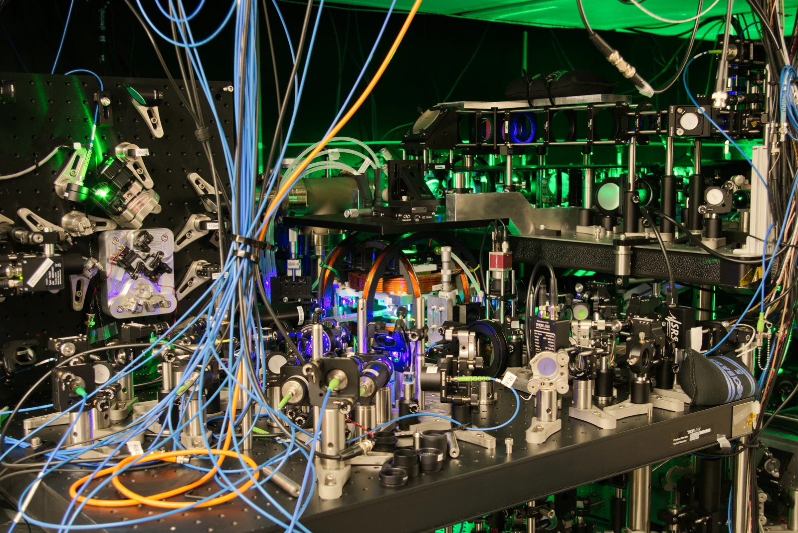
The reported gravimetry experiment uses an atomic sensing component. At a high level, such instruments exploit the behaviour of atoms to measure physical effects with great sensitivity. The navigation system also uses conventional instruments and computation. Calling the overall result “quantum navigation” should not make those other components disappear. This is an important distinction from quantum computing. A quantum sensor is designed to measure something about the world. A quantum computer is designed to process information using quantum operations. Both involve quantum physics, but a navigation result is not evidence that a general-purpose quantum computer has outperformed a classical computer.[2]
It is also important to distinguish gravity sensing from magnetic sensing. They respond to different physical quantities and face different sources of interference and ambiguity. Combining them under one exciting label can make a story simpler while making the engineering harder to understand. For a broad audience, the cleanest explanation is to name the measurement first. In this case, the central idea is using gravity-related observations to help constrain a route. The quantum component is a means of making the measurement, not a licence to skip the rest of the navigation problem.
Why a moving platform makes the problem harder
A sensor on a stable laboratory bench has a different job from a sensor on a moving vessel. Motion can produce signals much larger than the subtle effect the instrument is trying to isolate. The system therefore has to distinguish useful information from the platform's own behaviour. The preprint describes an 83-kilometre maritime path on a 29-metre vessel. Position errors stayed around one nautical mile over the first 70 kilometres and reached 2.2 nautical miles at the endpoint, compared with about 14 nautical miles for the unaided inertial solution. Those figures describe this experiment, not a guarantee of performance on every route.[2]
The navigation chain excluded live satellite-position observations, but matched measured gravity to a preloaded satellite-derived anomaly map. Recorded satellite positions were used afterwards to assess error. A separate surveying mode used satellite information during processing. Navigation without live GNSS and independence from every satellite-derived input are different claims. The useful result is therefore narrower, and more credible, than the idea of an instrument that never needs outside information. It is a demonstration that a particular combination of measurements and processing can provide an alternative constraint under the reported conditions.[2]
Independence is not invulnerability
A system that does not rely on receiving one particular external signal avoids some problems associated with that signal. It does not follow that the system is immune to all interference, errors or deception. Sensors can be affected by their environment, models can be wrong and reference information can be incomplete. The strongest version of the story is resilience through additional evidence, not perfect immunity. If one source becomes unavailable, another may help keep uncertainty within acceptable bounds. Whether the improvement is useful depends on the application, the environment and the required accuracy.
A passenger ferry, a survey vessel and a small consumer device do not face identical requirements. A proof on one platform cannot be transferred to another by changing the headline. Size, power, cost, reliability and integration all matter before a laboratory or field system becomes a practical product. This is a familiar pattern in technology. A new sensor can be scientifically impressive and commercially promising while still requiring substantial work to fit a particular use. The honest account should preserve both halves of that statement.
What would make the next result more convincing?
Repeated trials in different conditions would help establish how general the approach is. Clear error estimates would show not just a final location but how well the system understands its own uncertainty. Comparisons with suitable existing methods would clarify where the extra instrument earns its place. Independent evaluation would add another layer of confidence. It would be especially valuable to see conditions that are less favourable than the original demonstration, because resilience is about difficult cases rather than the best possible run. Published limits can be as useful as a new performance record.
Commercial evidence would answer a different set of questions. Can the system be maintained by its intended operators? How often does it need calibration? What infrastructure or maps does it depend on? What is the cost of the whole package rather than the most photogenic component? Those questions should not be mistaken for a demand that early research already be a finished business. They are simply the bridge between a compelling experiment and a dependable service.
A more interesting future than one technology replacing another
Technology stories often end with a replacement narrative: the new thing will kill the old thing. Navigation may be better understood as an exercise in combining independent clues. Satellite signals, motion measurements, maps and environmental observations can play different roles. The most plausible value of a new measurement may be that it makes the whole system less dependent on any one source. That is a subtler benefit than a claim that GPS is obsolete, but it is also a more useful way to think about reliability.
The surprising part is that the Earth itself contains information a navigator can try to read. Quantum sensing may help make some of that information usable in places where conventional clues are weak. The next question is not whether a ship can navigate by magic. It is how much a carefully measured physical landscape can add to the evidence about where the ship actually is.